
Alwaleed Philanthropies has launched Atlai, an AI-based platform that will monitor and report on global deforestation, providing users with on-demand, up-to-date visuals of relevant deforestation data.
Atlai is meant to both raise awareness of deforestation as it occurs and aggregate historical deforestation data by country. With the new platform, Alwaleed said it aims to close the information gap that many deforestation-focused groups currently face by providing the platform at no cost. Users may sign up to receive reports directly to their email and may curate updates to serve their particular interests. The reports are being made available in English, French, Spanish, Mandarin, Hindi, Italian, and Arabic.
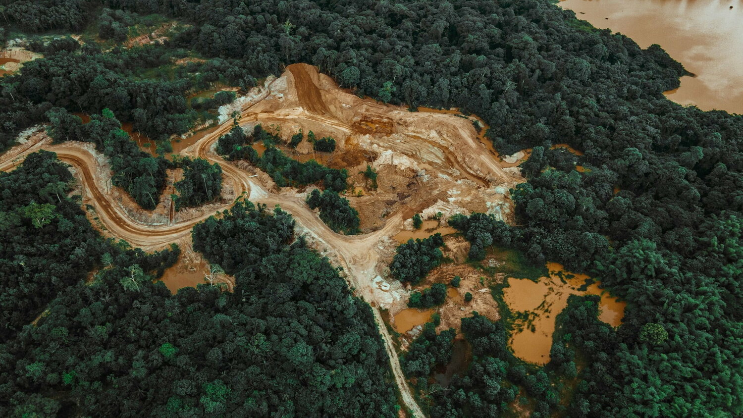
Alwaleed emphasizes that deforestation contributes about 20% of annual global emissions, and the world is currently not headed in the right direction to change this -- in 2022, deforestation increased by 4% and global efforts are reportedly 21% off track on the goal to end deforestation by 2030. The company said that access to quality data is the first step towards making positive decisions to address this crisis.
“In the face of escalating climate crises, the need for accessible, actionable data has never been greater," said Lamia bint Majed Al Saud, secretary-general of Alwaleed Philanthropies HRH. "Deforestation poses an existential threat to our environment, and we currently lack easily accessible data to enable decision-making and find solutions. Atlai represents our philanthropic commitment to using innovation and collaboration to solve the world’s most pressing issues. With Atlai, we look forward to harnessing the potential of AI to empower individuals and organizations around the world to become proactive agents of change in the fight against deforestation.”
In order to better understand and track the major contributors to climate change, additional technologies have been developed to measure the depletion of natural resources and identify emissions sources.
Project Canary and Colorado State are currently collaborating on a tool that may accurately quantify site-specific emissions from one or more sources, and Methane SAT is also to soon launch a methane monitoring satellite to track global methane emissions.
As land use from urban development and agriculture increasingly contributes to deforestation, tools have also been developed to provide businesses with insights into land use. At the start of this year, Deloitte released its Geospatial and AI Platform for Scenario Planning and Monitoring to improve corporate sustainability outcomes.


